Link of the Day: 20,000 Ancient Maps from New York Public Library Collections
The collection includes scans of books and atlases from as early as the 15th century.
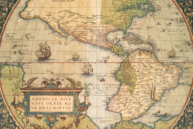
The New York Public Library digitized and posted a collection online with more than 20,000 ancient maps and atlases, many dating hundreds of years back.
Although most of the materials are about New York City and the US, the collection also includes scans of maps of Asia, plans of St. Petersburg from the mid-19th century, and a map of Galicia and Bukovina from the 18th century.