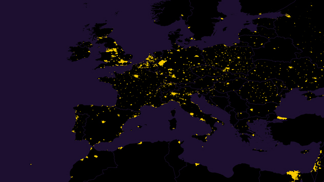
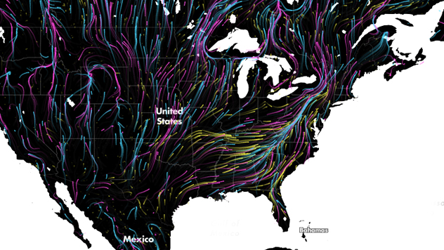
Places with the Highest Level of Air Pollution Shown on a 3D Map
The map uses information from several satellites and over 8,000 monitoring stations.
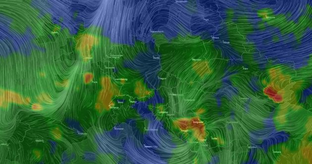
American company AirVisual developed an interactive 3D globe, which shows the level of air pollution in different parts of the planet in real time, Science Magazine writes.
The three-dimensional model of the Earth can be turned and scaled to study certain regions on the map. Users can also choose one of the two visualization modes: the first shows air pollution, the second one shows the wind speed and direction.
The creators of the map say that it uses information from several satellites and over 8,000 stations that monitor pollution.