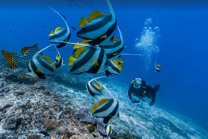
Google Street View Has 40 New Underwater Locations
Soon you will be able to enjoy scuba diving from home.

On Thursday, June 4, Google announced that for World Oceans Day it released 40 underwater images. Users of Google Maps can not only walk on the streets of the distant cities, but also do “virtual” scuba diving and learn about underwater places including the American Samoa and Chagos Islands, and the Great Barrier Reef. Google underlines that, “Despite the ocean’s vital importance, the ocean is changing at a rapid rate due to climate change, pollution, and overfishing, making it one of the most serious environmental issues we face today.”
Images in Google Street View will be available on June 8th.


