Instagram of the Day: The Jefferson Grid
The account @the.jefferson.grid publishes photographs of Northern American lands taken from the air.
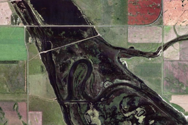
The almost ideal geometry of local territories that is revealed through aerial photography is the result of the Land Ordinance of 1785 written by Thomas Jefferson who wanted to find a simple way to divide free land by breaking it into 1 square mile lots after the United States expanded west.
The territories pictured in the aerial photographs are located near the Great Lakes to the west of the Mississippi River.