Alaska Diaries: Kivalina, the Slowly Sinking Village
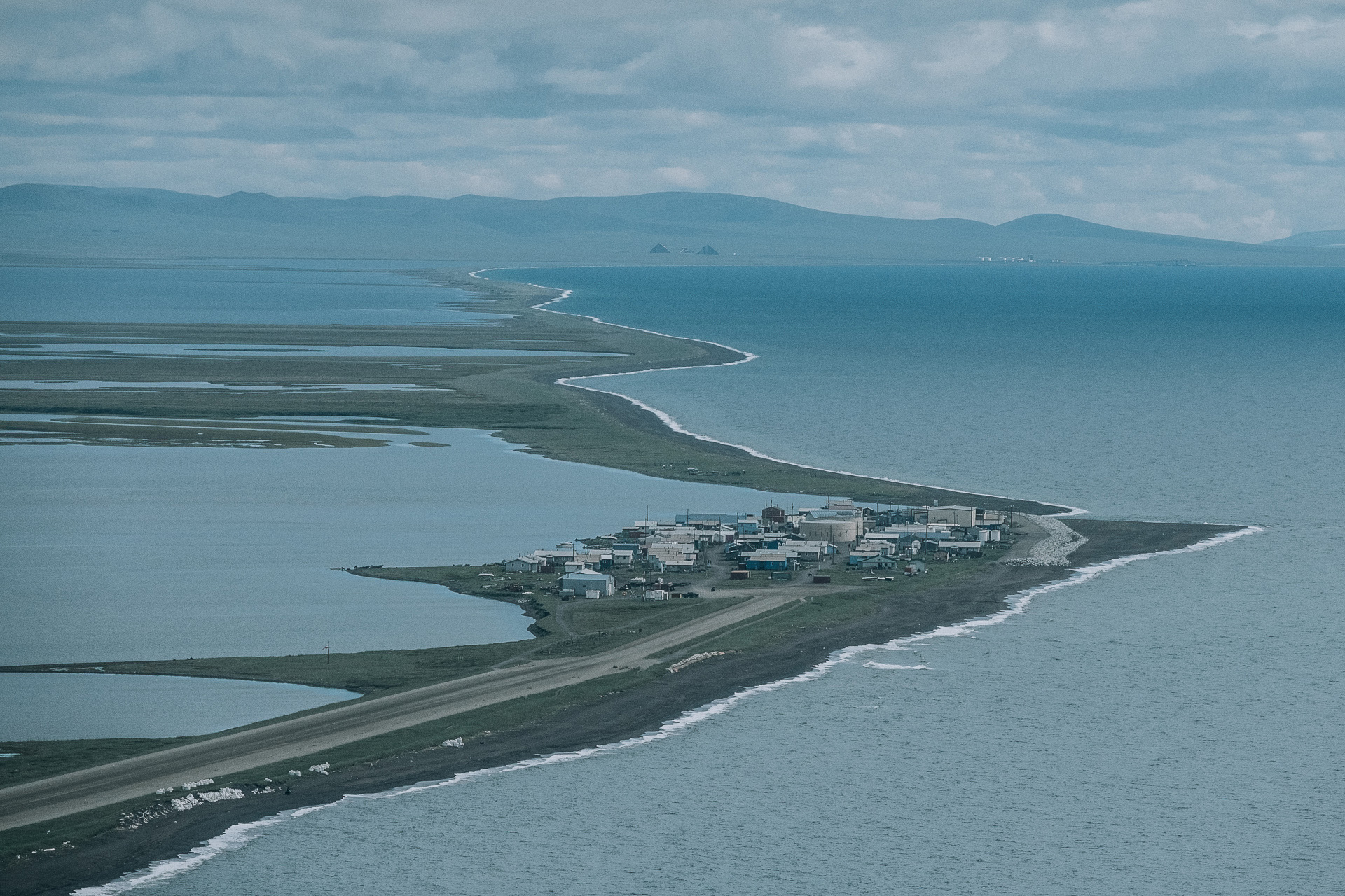
I arrived in Kivalina early in the morning on a small plane operated by Bering Air, a small airline from the northern part of Alaska. An eight-seat aircraft, where I was the only passenger, brought me from Kotzebue to this small settlement in 40 minutes. When the pilot saw my cameras, he offered to make an extra circle around Kivalina, to allow me take good aerial pictures.
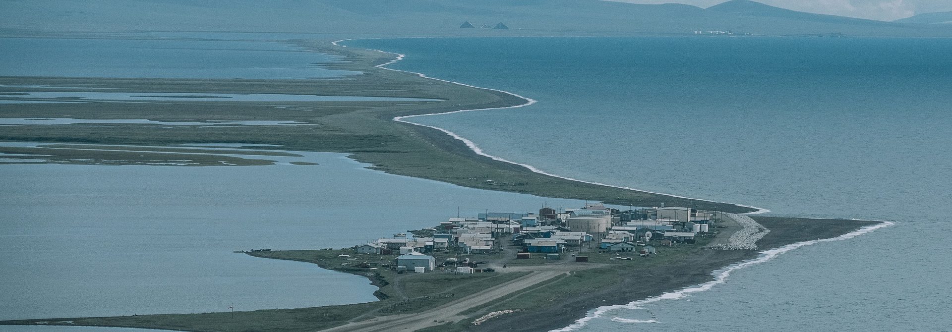
Kivalina is located on a small barrier island, surrounded by water. One the one side, the island is washed by the waters of the Chukchi Sea, on the other side, there is a lagoon to where the Kivalina and Wulik Rivers empty. The island is separated from the sandbar by small canals in the south and in the north. In recent years Kivalina has received a lot of news coverage in the US. Because of the rising sea levels and coastal erosion, scientists expect that the settlement will disappear by 2025. Most recently, President Barack Obama deliberately flew over Kivalina during his first visit to Alaska. Global warming, and adaptation to it, was one of the main themes that he discussed with the residents of the state.

Born in Russia, lives in Portugal. Specializes in documentary photography, works for Panos Pictures. Works with the UN, Amnesty International, Oxfam, ChildFund, and UNICEF. Sokhin’s photographs have been published in The Guardian, National Geographic, GEO, International Herald Tribune, The Atlantic, The Global Mail, Internazionale, Stern, Le Monde, Paris Match, Marie Claire, BBC, Sydney Morning Herald, and in “The Russian Reporter” and “Around the World.” Published a photobook called Crying Meri about violence against women in Papua New Guinea.
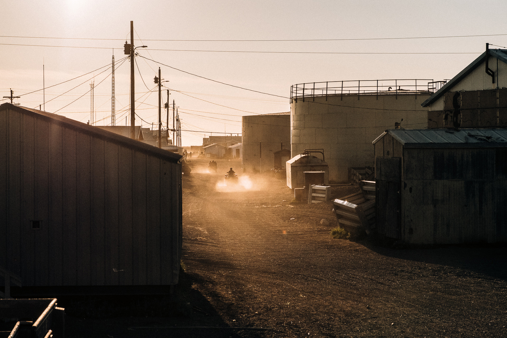
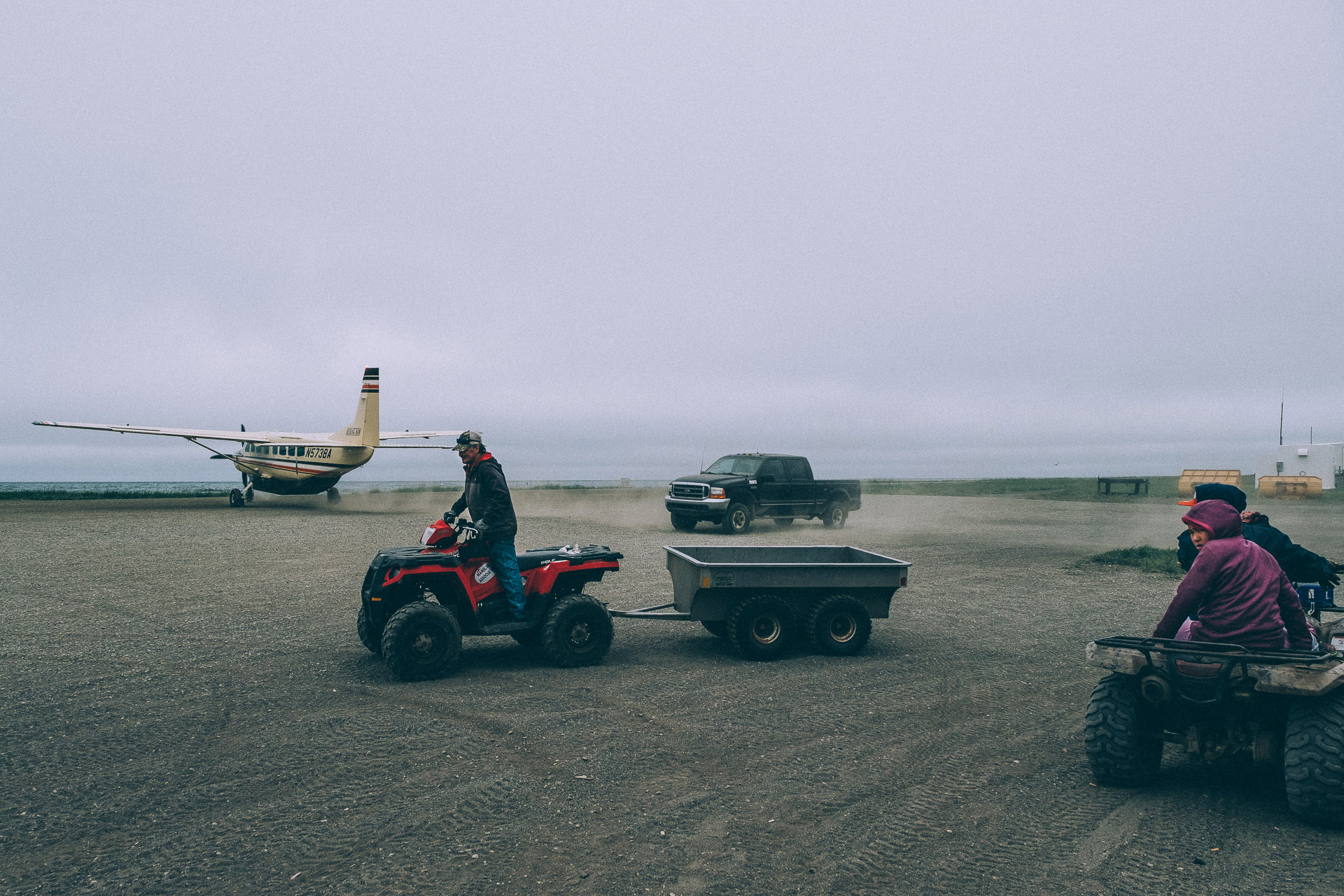
A member of staff from a local school met me on the runway and took me on his ATV (All Terrain Vehicle) to the school building where I will be staying for a week.
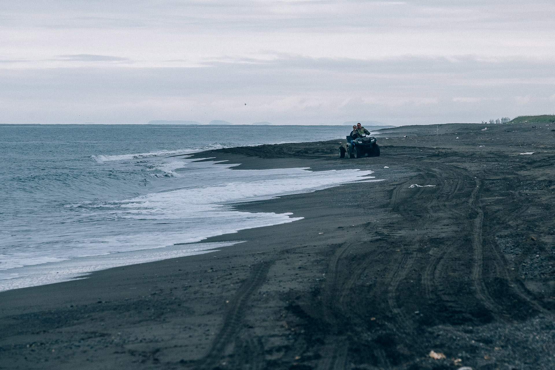
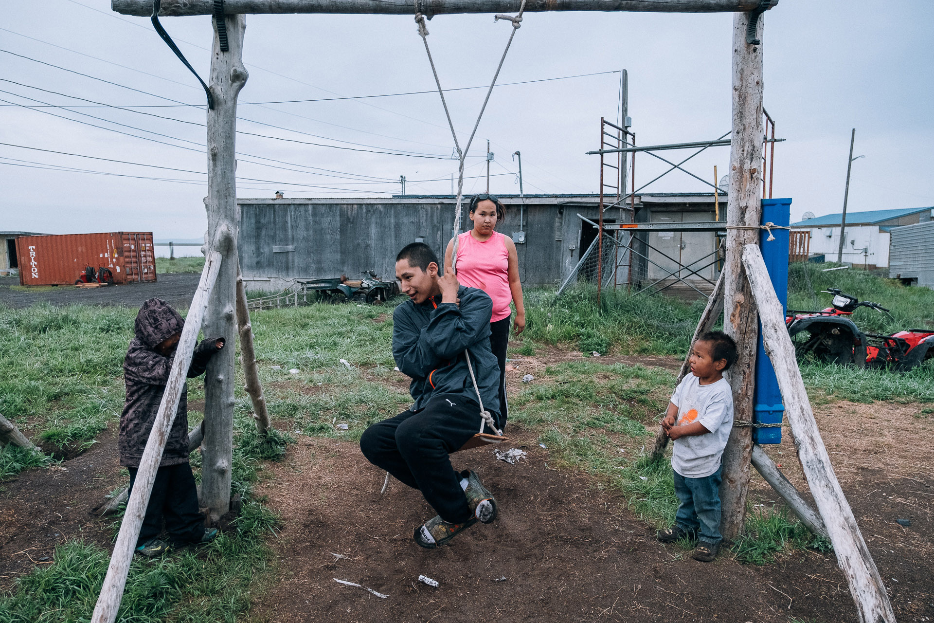
Almost all the children from the settlement immediately gathered around me. They were simultaneously asking me what my name is, where I come from, and why I speak with a strange accent. They grabbed me by arms and legs and asked to play with them. One of the girls, who is about seven, climbed up on an ATV, put her one-year-old sister on it, pressed the gas and took off, leaving me in a cloud of dust. In Kivalina, like in many other Native Alaskan villages, children drive ATVs without adults’ supervision.
Here everyone speaks English, almost nobody speaks their native Inupiaq. This dialect of the Eskimo language was banned by the authorities for many decades; in the past children who spoke it at school were even subjected to corporal punishment. In the second half of the 20th century, the Iñupiats were allowed to speak their language, but by that time English became an inseparable part of their lives.
Kivalina was founded by the American colonial government in 1905. The Bureau of Indian Affairs issued a decree prescribing the building of a school on the island, and made it obligatory for the Iñupiat people to send their kids there. The parents could go to jail if they disobeyed. At the time, the Iñupiats were constantly migrating, and used the island as no more than a temporary hunting campsite. It was problematic to drop off the children at school and pick them up after classes during the harsh winter. Many were concerned about safety and the health of the children, who might have gotten too cold during the daily winter trips to the school and back. Many families reluctantly started building homes around the school, and this is how the settlement on the island came into being. Now it is a home to about 400 people.
I’ve spent a week in Kivalina, interviewing and photographing local residents. Most of them are fishermen and hunters. For the past two weeks they were waiting for migration of caribou to start their hunt. But at the time of reporting the caribou didn’t show up.
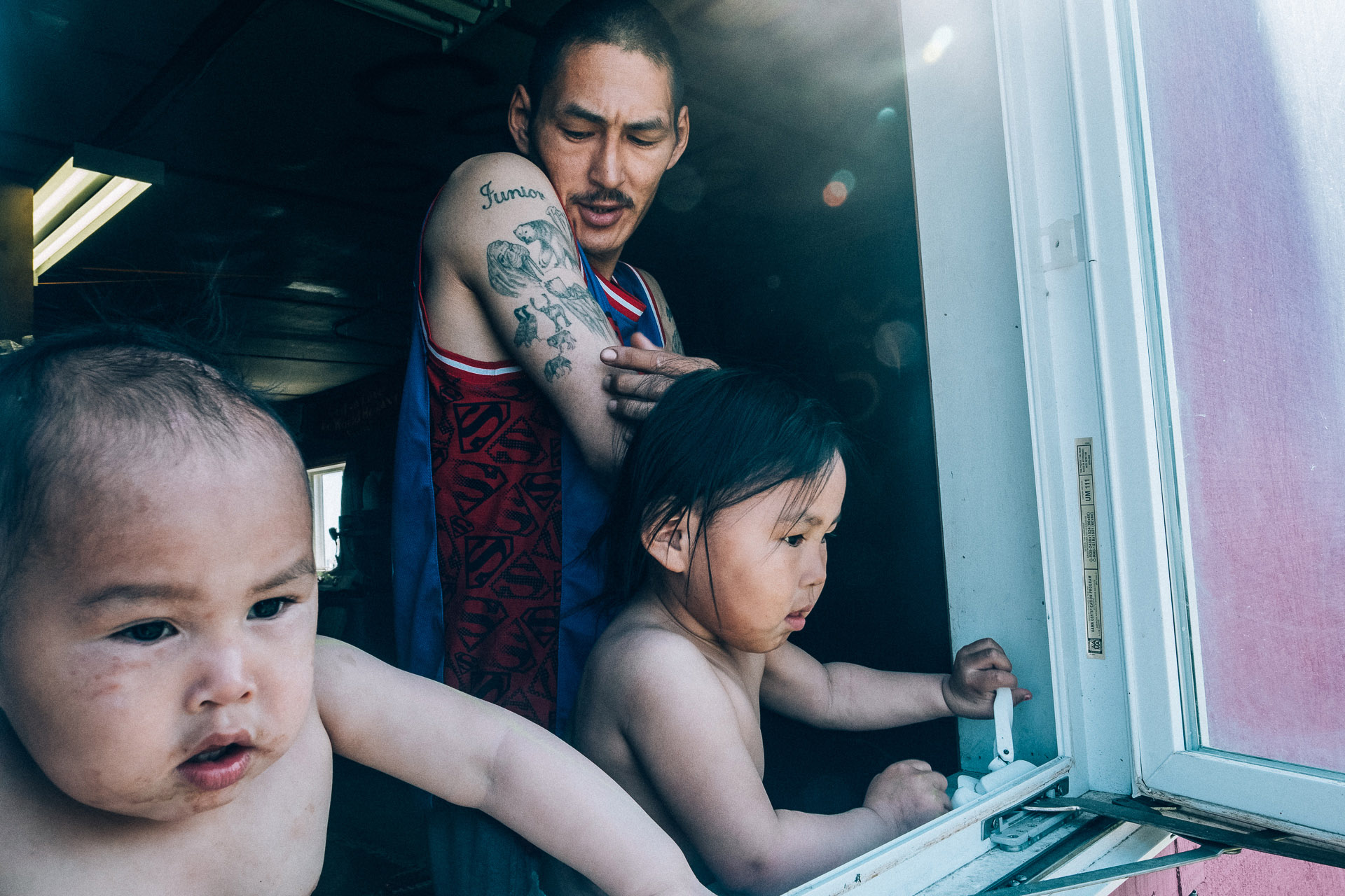
Hunter Austin Swan is listening to the local radio every day, waiting for a message about the caribou:
— I have been hunting since I was a child. At first I just helped the adults, and then I started hunting on my own. I shot polar bears, belugas, moose, caribou, walruses, and seals. As soon as a kill of a new kind of animal, I tattoo it on my shoulder. But in the past years we have observed the changing habits of the animals. It is the second week of July, but the caribou are not here yet. In spring, the sea ice melts too early, the polar bears don’t come here anymore. Our whole life has been changing quickly.
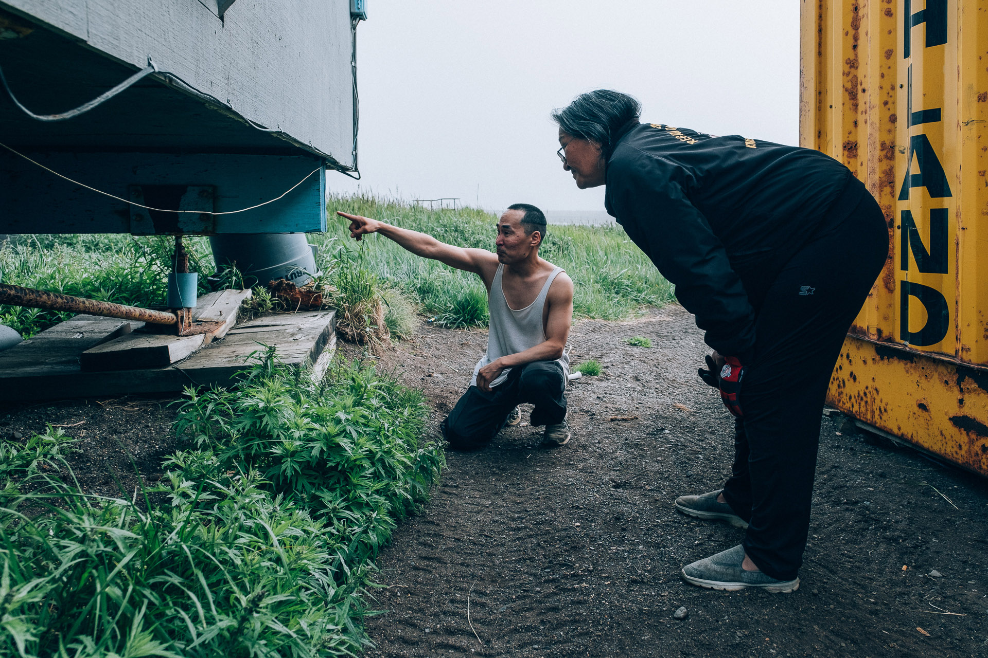
Some houses in Kivalina slowly start lean to one side because of soil subsidence. The head of the settlement Janet Mitchell inspects one such house in the southern part of the settlement. The owner Andrew Baldwin says that just a couple days ago one of the supporting pieces of the house cracked, and now the whole building is tilting. Placing all heavy belongings on the opposite side of the house didn’t help. There is now a big crack on one of the walls. Janet says that subsidence due to the thawing of permafrost is only one of the issues that Kivalina locals are facing.
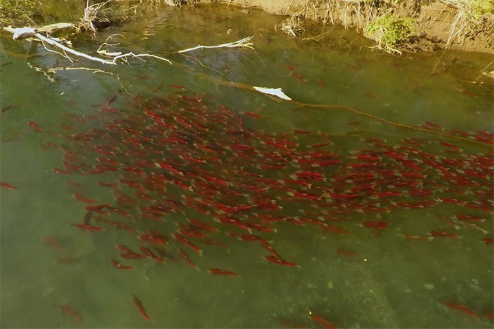
On one of the days Janet invites me to observe how she cuts the salmon. She says that before they didn’t use to have much salmon in their rivers:
— We see new kinds of fish more often: for instance, we have fished a lot of smelt this year. I have lived here my whole life, and I’m seeing this for the first time. The warmer climate also facilitates new types of worms and other parasites to inhabit the fish, and we are not sure how to deal with it yet.
The citizens of Kivalina started observing coastal erosion back in the mid-20th century. According to the US National Oceanic and Atmospheric Administration, between 1953 and 2003 Kivalina lost over 11 hectares of land to coastal erosion. By the 1990s, the erosion was so obvious that the citizens decided to start a process of resettlement, choosing several suitable locations on the ‘mainland’ not far from the village. By 1998, they made a final choice for the resettlement location, but it turned out there is no such organization in the US that would organize the resettlement of the entire village.
The US has the Federal Emergency Management Agency (FEMA) which helps people in locations destroyed by natural disasters. But Kivalina citizens didn’t have the status of disaster victims, as neither global warming nor coastal erosion and sea levels rise are officially considered as such.
Kivalina citizens have tried to receive the support and funds from the government for decades, and they are already losing to the rapidly changing climate. Even if the authorities started resettling people to the new location right now, the construction of houses, a new school, an airport, and other infrastructure will take a lot of time, which Kivalina is running out of.
In addition to climate change, the citizens of the island settlement notice that from time to time that the color and the taste of the water in the Wulik River that serves as a source of freshwater for them, is changing. Sometimes they see dead fish floating in the river. They blame their neighbor Red Dog mine, the largest zinc mine in the world that is located about 80 kilometers from the village. According to the US Environmental Protection Agency, the mine is producing a large amount of toxic waste. Sewage from the mine is collected in the special reservoir that sometimes overflows letting the toxic water out into the soil and river. This has most recently happened in May 2014.
Despite the environmental problems, working at the mine remains almost the sole source of income for the local youth. Justin Swan (17) has just finished high school, and is preparing to apply for a job there:
— It’s fun to live in Kivalina. When you’re a child, there is always something interesting to do. But after you finish school, there is no perspective. Your only option is to get employed at Red Dog. There, people can earn up to $2,000 a month. We know that they are poisoning our river, but what can we do? My son was just born, and I need money to provide for my family.
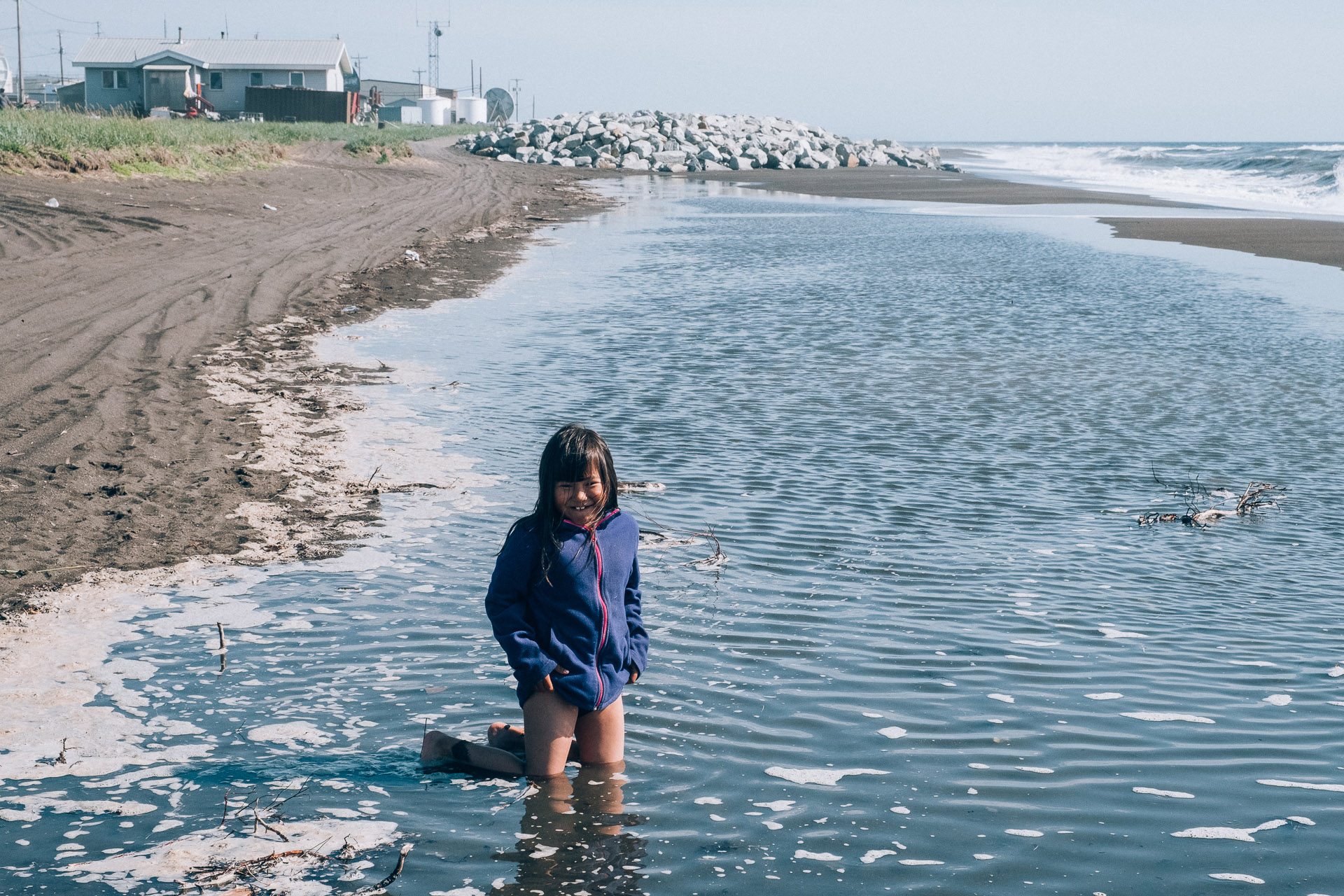
In the past, the fact that Kivalina was on a barrier island was a purely good thing. Such islands were a great place for a settlement: they opened access to the mainland with game, to freshwater and river fish, to the sea with its whales, walruses, and seals. Barrier islands were protected from strong fall storms by sea ice.
However, in the past several decades sea ice forms later and melts much earlier, thus opening the island to the impact of strong winds. In its highest spot, Kivalina is elevated only three meters above the sea level, and without sea ice is not protected from the storms of the Chukchi Sea.
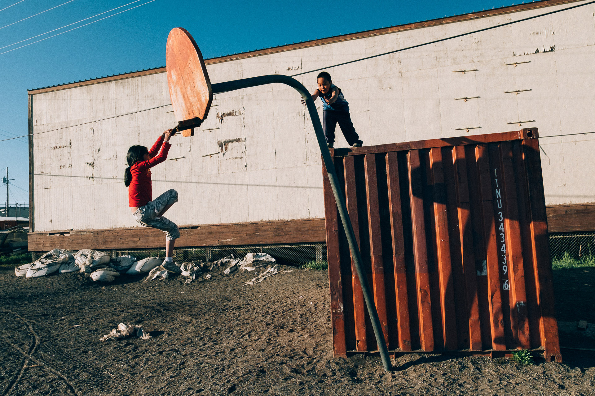
The first large-scale autumn storm hit the village in 2004. The ground near the school collapsed; huge waves and strong winds destroyed a part of the coastline. Another terrible storm happened in 2005: the waves rolled all the way up to the school and the homes of teachers. The teachers carried heavy objects to the coast to fortify it and protect the buildings from the waves. The Federal Emergency Management Agency proclaimed Kivalina a natural disaster zone and allocated funds for the village to buy sandbags to fortify the coast.
In 2006, the settlement finally secured the budget to build a seawall on the side of the island facing the sea. The construction of a wall made of plastic cylindrical baskets filled with pebbles and sand started the same year. The workers stacked these baskets on top of each other, in order to create a barrier able to stop big waves. Despite protests from the locals, gravel and sand to fill the baskets were not brought, but were dug out on that very coast, not far from the fuel tanks and airport runway, destroying the already unstable surface of the island.
The opening ceremony for the barrier was scheduled on October 12, 2006, but the day before a strong storm hit Kivalina again and destroyed the newly built seawall.
In 2006, the U.S. Army Corps of Engineers analyzed the situation in Kivalina and concluded that the village needed to be relocated immediately. The project was estimated between 100 and 400 million US dollars.
In September 2007, meteorologists warned the villagers about a coming storm with three meter high waves. They decided to begin voluntary evacuation. Most of the residents were transported on planes and boats, but some of them decided to stay. Lona Adams was one of them. She said that people gathered at school, hoping to wait for the weather to calm down. Then a plane came and took about ten people. When the wind became stronger, the planes stopped flying to the island. People were evacuated on ATVs to the Red Dog mine.
— When almost everybody left, Kivalina resembled a ghost town. Those who stayed had a very strange feeling: no usual children’s voices were heard in the street. Everybody came back only after four days, — Lona recalls.
In 2008, the U.S. Army Corps of Engineers started building a new seawall from big rough cobblestones, brought on a barge from Nome. This wall still protects Kivalina from coastal erosion during the storms.
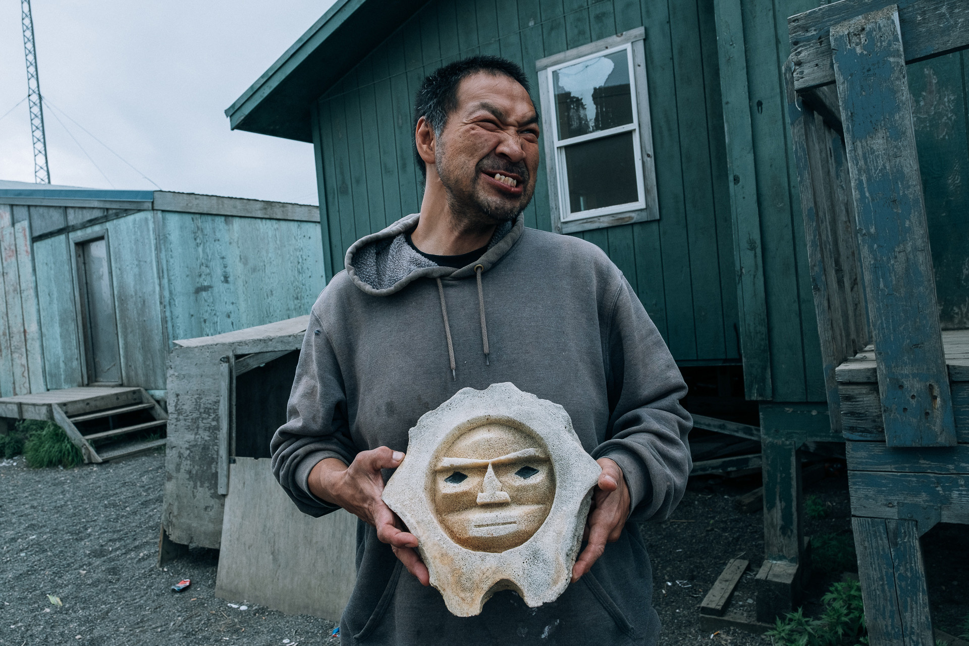
Ralph Knox, one of the local bone carvers, lives from selling his products to the visitors of the village. They are usually teachers, builders, or journalists. Lately, more people started coming to document how Kivalina is affected by climate change.
— We always had a few visitors, but now there are anthropologists, ecologists, journalists, TV crews. Many media people came here after Obama flew over Kivalina. When his plane was flying above us, many were waving their hands. It is a pity that our runway is not built to land the President’s plane. I would be happy to have shaken his hand.
It is getting more difficult to make handicrafts. There are fewer animals whose bones I use for work. There were no whales this year. The ice becomes thin and dangerous much earlier, many are afraid to walk on it.
I have spent a week in Kivalina and started feeling at home there. It’s so small that you can walk around it just in 20 minutes. I met almost all the villagers, tried Iñupiat food, went fishing. Some evenings I was coming to the seawall to look at the sea. I was standing on those rocks that protect this tiny piece of land from the storms. This artificial barrier keeps safe only a part of the village, while the other side of Kivalina and the airport runway remain unprotected.
The builders themselves said that the seawall will only postpone Kivalina’s fate for 10 or 15 years. After that, the village will most likely vanish. It is unclear, if the locals will be able to move to the new houses before the village disappears, or will they have to become climate refugees in their own country.
The story of Kivalina is not unique for Alaska. There are at least 10 Eskimo villages facing the same fate. In some of them, people are only discussing whether they should take measures to relocate or not. In others, they have decided not to leave their lands no matter what. Only in Newtok village located in a swampy area near the Bering Sea people are actively building homes in the new location and slowly resettling. This is where my journey takes me next.
Text and photos: Vlad Sokhin / Panos Pictures
