Infographic of the Day: Political Map of the World for 5,000 Years
What the state borders were like 100, 200 or 1,000 years ago.

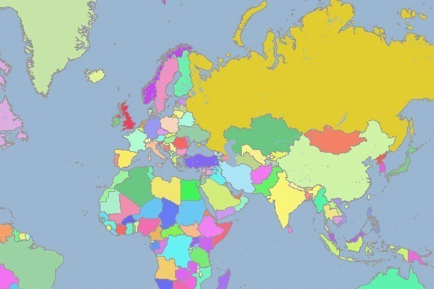
GeaCron, a company that specializes in history research, developed a map World History Atlas & Timelines Since 3000 BC, which allows you to track changes on the political map of the world for the past 5,000 years.
To see how the borders of the state looked 100, 200 or 800 years ago, a user needs to enter the year they need in the search bar, after that they will see the map that corresponds to that year.


